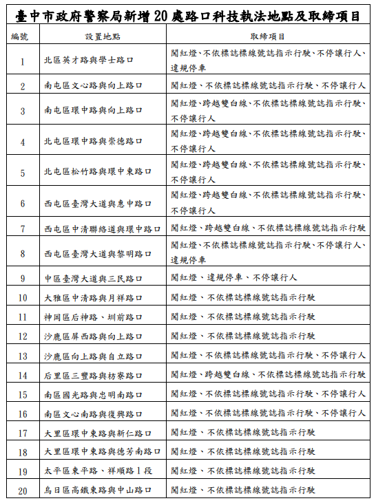
[生活應用]2024全台灣測速照相地圖、科技執法(更新:0701台中科技執法)
小工具|GeoShort短網址產生器 小工具|導航…

小工具|GeoShort短網址產生器 小工具|導航…

GIS x GeoSpatial X RS *採用WebGIS服務進…
關鍵字: Sentinel-2,LandSat-7,雲遮蔽,影…
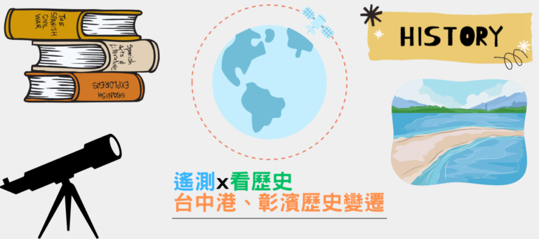
關鍵字: 遙測、地球同步軌道、氣象衛星 GI…

QGIS x Animation plugins *採用交通部公…
[QGIS教學系列]坐標系統(CRS)概念及操作 …

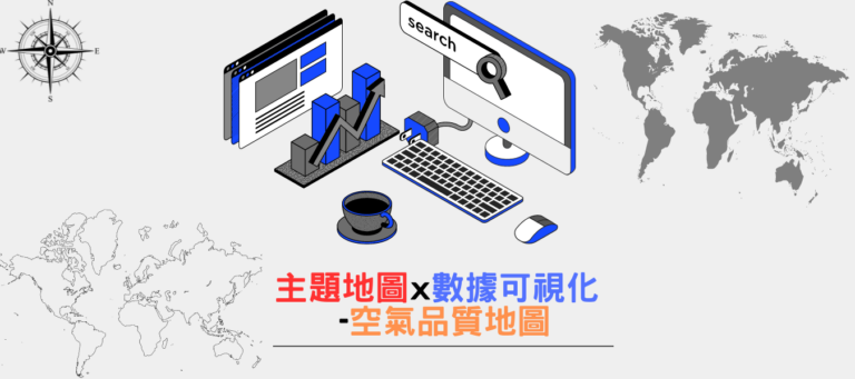
QGIS x GeoSpatial *採用WebGIS服務進行製…
QGIS x GeoSpatial *採用WebGIS服務進行製…
QGIS x Animation plugins *採用政府公開…
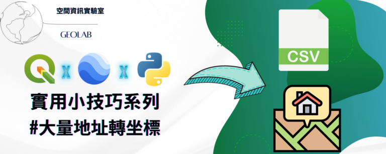
關鍵字: 地址轉換、地址轉換經緯度、Googl…